
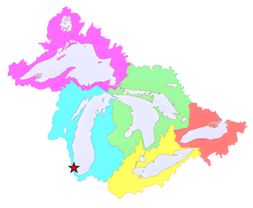
Our inspiration starts with the impact and linkage of the Great Lakes Basin, a region of about 52.5 million people that remains the economic heartland for the country.
The region is comprised of industrial heavyweights Illinois, Indiana, Michigan, Minnesota, Ohio and Wisconsin which encompasses much of the nation’s “Rust Belt” and is home to numerous large cities that attract Fortune 500 companies: Chicago, Detroit, Duluth, Minneapolis, Gary, Indianapolis, Milwaukee, Toledo, Cleveland, Cincinnati, Columbus, Erie, Buffalo, Rochester and Syracuse.
Regional economic drivers in this region include auto manufacturing, aerospace, universities, carbon fiber, composite materials, biological sciences, chemicals and farm equipment, with much of the land in the region being rural and farming being the most important industry in each of the Great Lakes states.
Environmentally, the Great Lakes Basin contains about 18–21% of the world’s surface fresh water and supports a globally significant freshwater ecosystem.
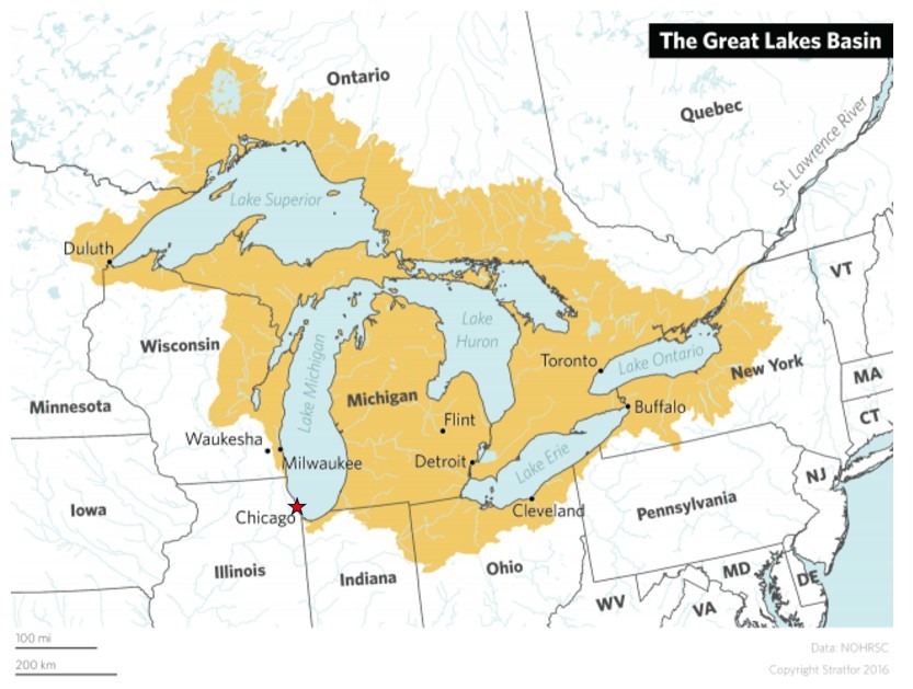
The Great Lakes Basin is the vast drainage area feeding Lakes Superior, Michigan, Huron, Erie, and Ontario, while spanning parts of eight U.S. states (IL / IN / MI / MN / NY / OH / PA / WI) and the province of Ontario (that includes 7 of Canada’s 20 largest metropolitan areas) while providing drinking water for millions in both Canada and the United States.
The Great Lakes Basin remains one of the most important freshwater drainage systems in the world due to its scale, population, and ecological significance.
As Daniel Burnham states in his Plan of Chicago,
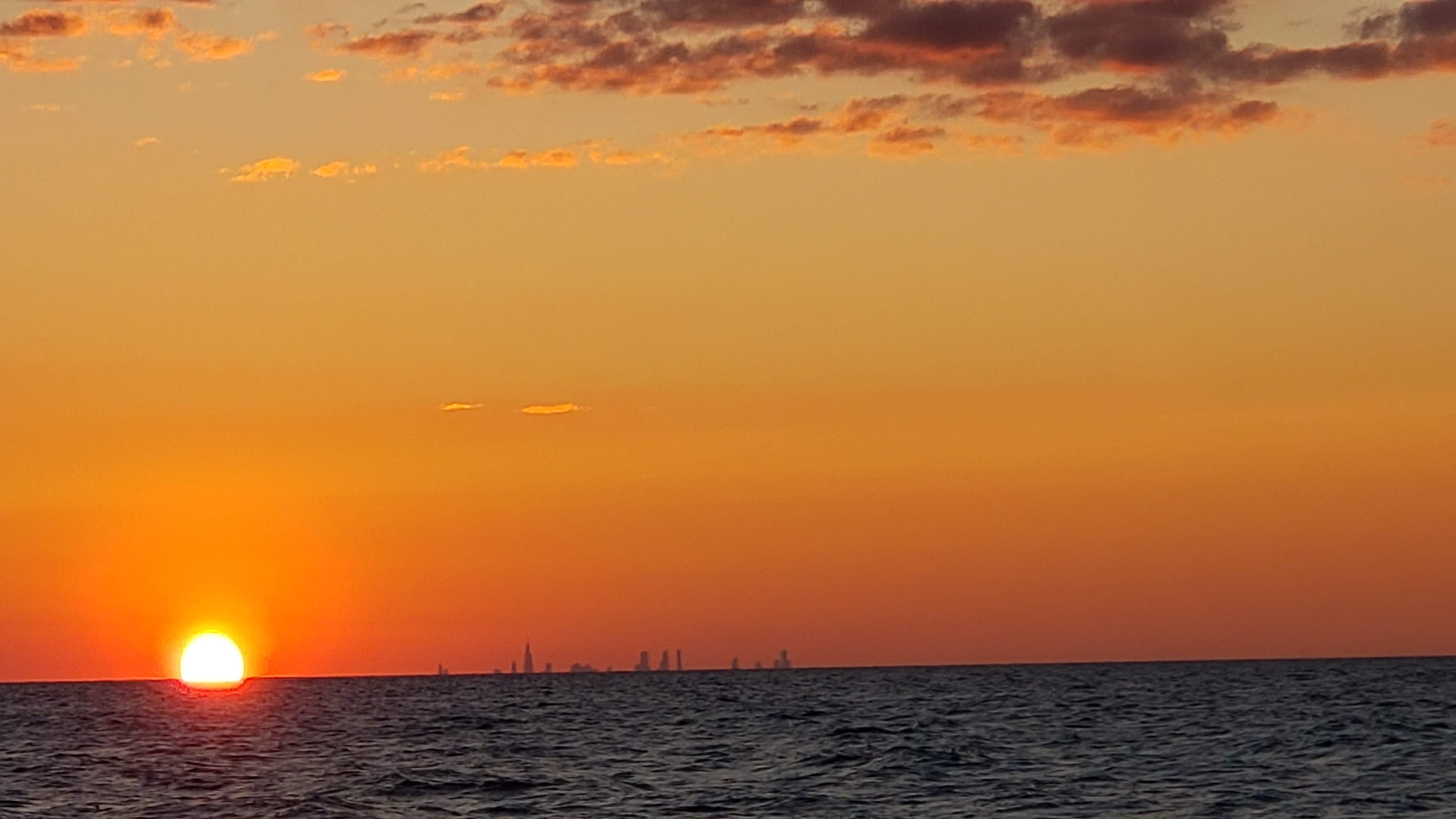
“there was something transcendent about Lake Michigan”
and
“But the lakefront — the envy of cities around the world, a source of beauty, relaxation and renewal to generations”
…his greatest legacy is the incorporation of the lakefront into his Plan of Chicago.
The South Lake region includes a 60 mile / 2hr driving radius from the heart of Chicago, bound together by its ‘arteries of communication, natural landscape, and the great commons—Lake Michigan’.
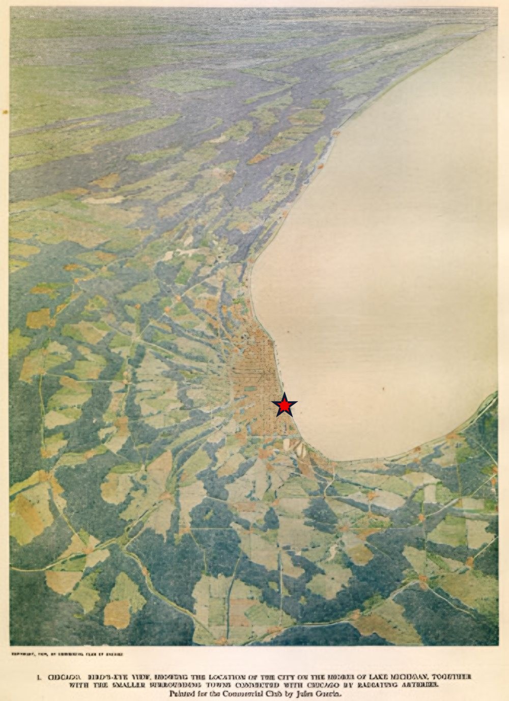
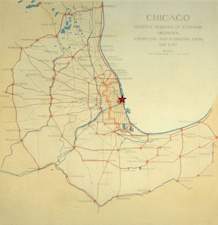
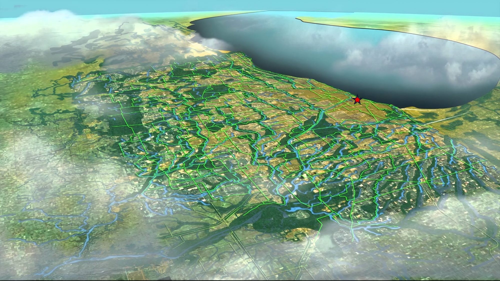
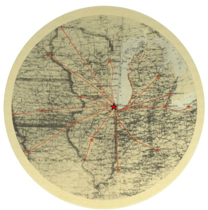
While considering a 6hr driving radius and as part of the South Lake region, Chicago encompasses a total metropolitan area population of 16 million people from 9 major cities, as well as connects 4 of the Great Lakes, Canada and 7 States.
| From Chicago | Metro population | Distance | Drive |
|---|---|---|---|
| Chicago | 9.43 million | – | – |
| Milwaukee | 1.57 million | 91 miles | 1.25 hrs |
| Indianapolis | 1.93 million | 183 miles | 3 hrs |
| Green Bay | 106.8 thousand | 206 miles | 3.25 hrs |
| Toledo | 519 thousand | 245 miles | 4 hrs |
| Detroit | 4.39 million | 283 miles | 4.25 hrs |
| Des Moines | 759 thousand | 330 miles | 5 hrs |
| St. Louis | 2.81 million | 297 miles | 5.25 hrs |
| Traverse City | 156.6 thousand | 318 miles | 5.75 hrs |
| Minneapolis | 3.76 million | 409 miles | 6 hrs |